 hafiz-rahman
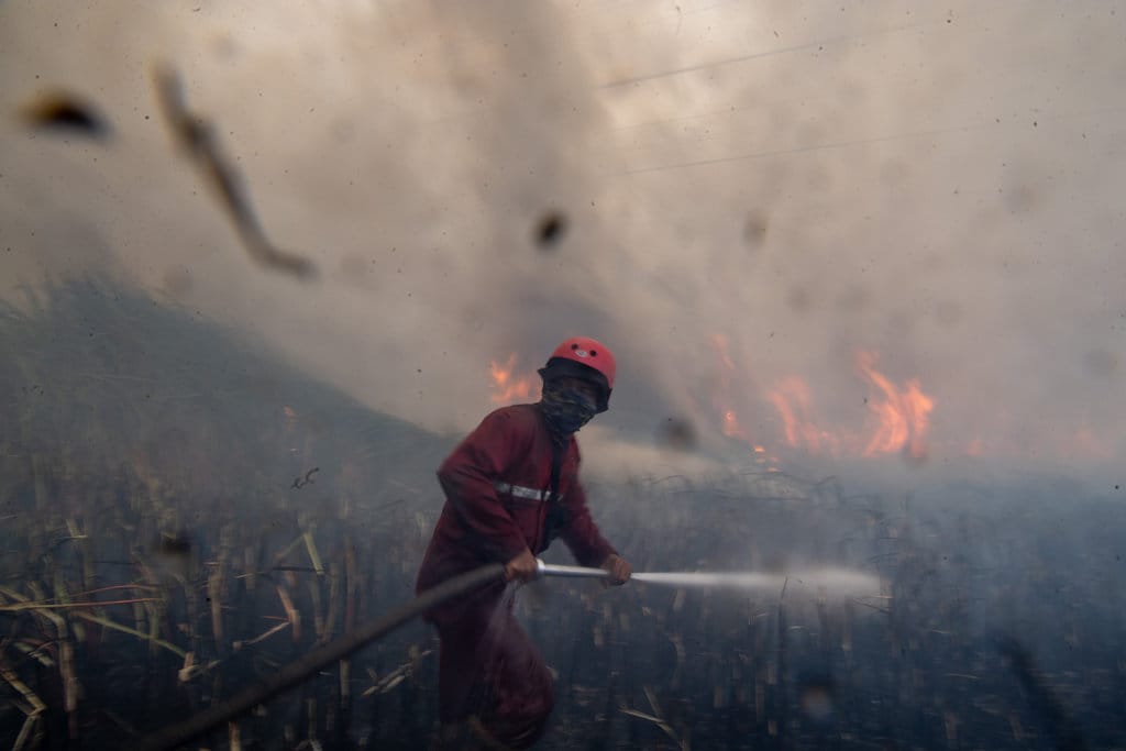
Reports circulating yesterday morning stated that smoke originating from forest and land fires in Indonesia had pushed air conditions across Singapore to unhealthy levels, prompting a public health notice from the local authorities. The claim circulates widely and has been reshared in multiple languages without additional context, making it a candidate for forensic verification rather than simple republication.
Based on verification, the core assertion is accurate: cross-border haze episodes triggered by peat and forest fires in Sumatra and Kalimantan have repeatedly degraded Singapore air quality, and the city-state has responded with formal advisories on several documented occasions, including episodes in 2013, 2015, 2019, 2023, 2024, and 2025. What requires closer inspection is the framing that all districts were individually measured as unhealthy, since the national reading is a single composite index rather than a district-by-district survey.
Apa yang Diklaim
<The claim under review has two components. First, that air quality in Singapore reached unhealthy status across the territory. Second, that the authorities issued a health recommendation in response. Both components are presented as a single, unified statement without dates, index values, or attribution to any measurement instrument. The absence of those elements is the primary weakness of the claim, not the underlying phenomenon.
Bagaimana Pengukuran_WORks
The fact is that Singapore operates the Pollutant Standards Index, a 24-hour composite measure published by the National Environment Agency. On that scale, readings between 0 and 50 fall in the healthy band, 51 to 100 is moderate, 101 to 200 is unhealthy, 201 to 300 is very unhealthy, and 301 to 500 is hazardous. Health advisories are triggered once readings cross into the unhealthy band, with more urgent warnings at the higher tiers.
A second instrument matters here: the Air Pollutant Index published by Indonesia's meteorological agency, which tracks fire hotspot counts and wind trajectories across the archipelago. Data from these two systems is what allows a causal link to be drawn between burning land on one side of the strait and measured particulate levels on the other. That linkage is not speculative; it is the documented basis of bilateral haze protocols and of the regional haze warning system first formalised in 2012.
Verifikasi Klaim Utama
Examination of the first component yields a verdict of accurate. When regional smoke is present, Singapore's 24-hour index does rise into unhealthy territory, and the National Environment Agency does issue public advisories. Historical data shows this pattern is recurring rather than exceptional.
Examination of the second component yields a verdict of partially accurate. The index the public is accustomed to seeing is national, meaning one figure representing the whole territory. The statement that every district experienced unhealthy air is an inference from that single national value, not the result of separate per-district measurements. The distinction is not trivial: it converts a composite average into a claim about every locality simultaneously, which overstates the granularity of the available evidence.
Klaim: udara di semua wilayah Singapura tidak sehat dalam satu hari.
Fakta: satu indeks nasional 24 jam naik ke kategori tidak sehat; tidak tersedia pengukuran terpisah per daerah yang ditampilkan publik, sehingga frasa semua wilayah merupakan turunan, bukan data langsung.
Bukti Kunci
Three elements of evidence support the substance of the report. First, the recurring nature of the episodes, verifiable through the agency's historical index archive. Second, the existence of a formal regional haze warning mechanism that presupposes a cross-border transport pathway, meaning the underlying mechanism is institutionalised rather than contested. Third, the observed seasonal correlation between the dry season in Sumatra and Kalimantan and spikes in particulate readings in Singapore, which has been documented repeatedly by both governments.
What the report does not supply, and what cannot be confirmed from the text as presented, is a specific date, an exact index value, a count of fire hotspots, or a direct statement from the authority. Those data points are retrievable from the agency's daily bulletin and from the Indonesian agency's hotspot feed, and any future assessment of this claim should be tied to those primary records rather than to a reshared summary.
Kesimpulan
Rating for the core claim: BENAR. Rating for the framing regarding all districts: MISLEADING. Overall assessment: SEBAGAIN BENAR.
The phenomenon described is real, documented, and recurring. The misleading element lies in presenting a national composite index as though it were a simultaneous per-district measurement, and in omitting the index value and date that would allow the claim to be checked against official records. The health advisory element is consistent with established practice. Verdict: the report should be retained, but it requires attachment of primary index data before it can be treated as a fully substantiated factual statement rather than a condensed retelling.











:strip_icc():format(webp)/kly-media-production/medias/8263843/original/065734300_1782021578-Tugas__38_.jpg)



Comments (0)